GatorEye Lite data postprocessing instructions
Micasense Altum and L1 visual photogrammetry in Pix4D software
Data is collected with the DLS-2 data, which includes information from a separate IMU, a Geotag using the DLS-2 integrated GNSS unit (thus it is not differentially corrected and would differ in location slightly from the Lidar data), and daylight intensity information.
Altum data is post-processed into daylight and sun angle corrected orthomosaics of spectral bands and indices using Pix4D software. The instructions are provided at:
https://support.micasense.com/hc/en-us/articles/115000831714-How-to-Process-MicaSense-Sensor-Data-in-Pix4D
And, likely more useful, screen clips of Pix4D parameters as run by GatorEye team: https://bit.ly/3dXpPQU
However, note that many of the instructions provided are outdated and no longer required. Specifically,
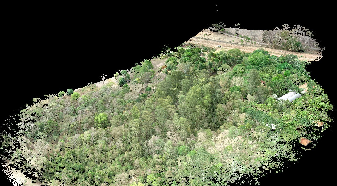
The Pix4D process workflow of: "Ag Multispectral processing template". No 3D point clouds should be derived from these images as it will not be high-quality and 3D structural data is provided from the Lidar sensor.
The calibration setting of: "Camera, Sun Irradiance and Sun angle using DLS IMU" should be used.
Ideally, one process run will include all Altum data, as well as the visual imagery from the L1 sensor, in the same process.
Data is collected with the DLS-2 data, which includes information from a separate IMU, a Geotag using the DLS-2 integrated GNSS unit (thus it is not differentially corrected and would differ in location slightly from the Lidar data), and daylight intensity information.
Altum data is post-processed into daylight and sun angle corrected orthomosaics of spectral bands and indices using Pix4D software. The instructions are provided at:
https://support.micasense.com/hc/en-us/articles/115000831714-How-to-Process-MicaSense-Sensor-Data-in-Pix4D
And, likely more useful, screen clips of Pix4D parameters as run by GatorEye team: https://bit.ly/3dXpPQU
However, note that many of the instructions provided are outdated and no longer required. Specifically,
- The Altum images load correctly and automatically in Pix4D now. You do not need to adjust anything related to the image or camera information. Simply load the directory of photos, and then can start to process after following the 'ag template' and other setup process.
The Pix4D process workflow of: "Ag Multispectral processing template". No 3D point clouds should be derived from these images as it will not be high-quality and 3D structural data is provided from the Lidar sensor.
The calibration setting of: "Camera, Sun Irradiance and Sun angle using DLS IMU" should be used.
Ideally, one process run will include all Altum data, as well as the visual imagery from the L1 sensor, in the same process.