Big Plot Network (BPN)
Overview
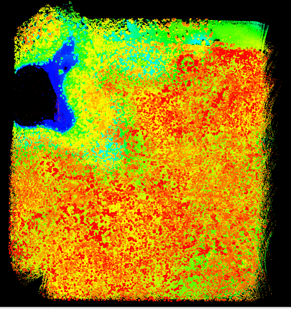
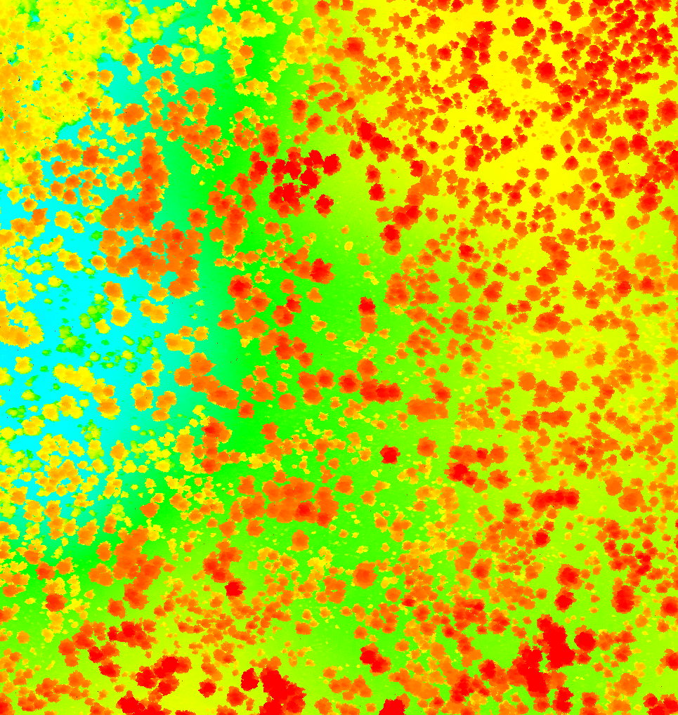
A growing network of 'big plots', ranging in size from 500 x 500 meters to 1500 x 1500 meters, distributed across South, Central and North America. In the Southeast, critical focus areas include areas of blue carbon (e.g., mangroves - see photos from 2011 mangrove work in Papua Indonesia) and terrestrial forests, that are likely to be impacted by disturbances (e.g., fires and hurricanes). A complete suite of data collection consists of: ultra high density LiDAR point clouds, high spatial resolution 3D projected: (a) in situ downwelling corrected hyperspectral reflectance data, and (b) external shutter calibrated radiometric thermal point clouds, and very high-resolution visual imagery, collected using the GatorEye Unmanned Flying Laboratory using standardized mission protocols. Typically plots are established over a variety of smaller plots installed using standard field-based forestry methods and measurements oriented for conservation biology research questions. The initial 'baseline' phase, ongoing as of October 2019, consists of establishment of a network distributed across critical bioclimatic and disturbance gradients, with subsequent data collection allowing multi-temporal analyses. Broader objectives include developing standardized workflows for scaling up analyses to regional extents using calibration/validation approaches to satellite derived LiDAR (GEDI, IceSat), Radar (NISAR), and very high-temporal frequency micro-satellite imagery (Planet). As of October 2019, the network consists of approximately 100 plots distributed in the United States (New Hampshire, Georgia, Florida), Mexico, Costa Rica, Panama, Peru, and Brazil.
More recently, starting in October 2021, we are also establishing "Big Plot Lites", using the GatorEye Lite system. These differ from the standard big plots as described above as they are acquire using the GatorEye lite system (see www.gatorye.org for details) and are 200x200 meters in size. They also feature ultra dense lidar RGB colorized and orthomosaics of visual, multi-spectral, and thermal imagery.
Co-directors
Eben North Broadbent
Angelica Maria Almeyda Zambrano
Example 600x600m plot - OSBS, Florida