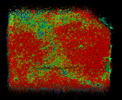
GatorEye lidar point cloud colorized by altitude (red higher up; blue lower down)
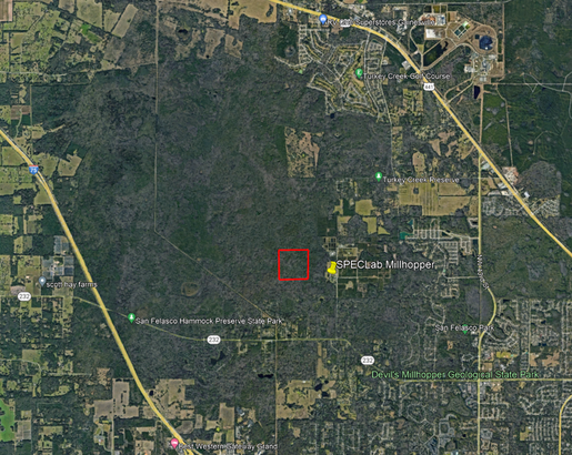
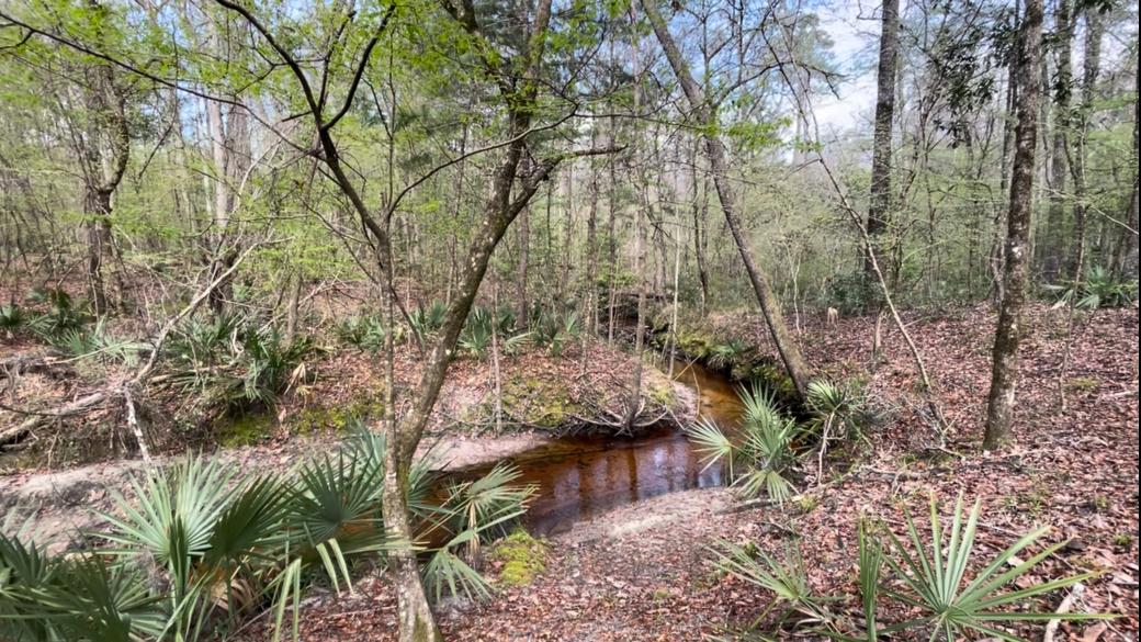
San Felasco Hammock Ecological Monitoring Plot
Initiated in 2021, and directed by the Eben Broadbent and Angelica Almeyda Zambrano, is a long-term (e.g., permanent) close collaboration between the plot directors and San Felasco park officials and ecologists. The plot is a 400 x 400 m plot in which all stems > 1 cm DBH are being mapped and identified to species, with subsequent expansion intended to 500 x 500 m. Once completed it will be integrated into the ForestGeo global plot network. This plot features very high-temporal and spatial remote sensing monitoring using lidar, visual, thermal, and multi + hyper-spectral imagery - aka, a GatorEye 'super plot'. It is used simultaneously for ecological studies, GatorEye algorithm development, and Cal/Val. It features quarterly GatorEye surveys, with planned selected years (2025) featuring monthly data collection; making this the highest temporal resolution of airborne lidar sampling of any plot globally that we are aware of. Presently, baseline monitoring, plant census and biodiversity studies are being conducted. Once completed plot PIs will be available to discuss potential collaborations. Plot data is available to view through the ForestGeo (pending) and GatorEye data download web portals. Plot access is restricted, please contact Eben Broadbent ([email protected]) with any questions or potential collaborations. Current field data sets available to view:
Current GatorEye data available to view:
|
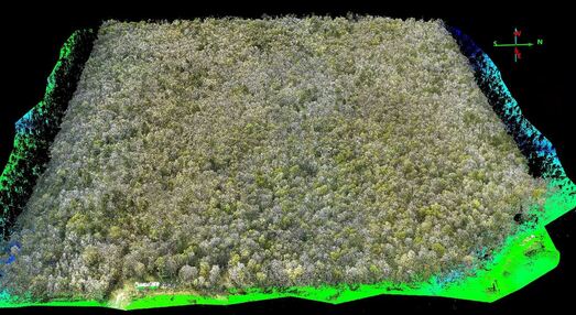
GatorEye XTR colorized dense lidar point cloud of plot and surrounding area
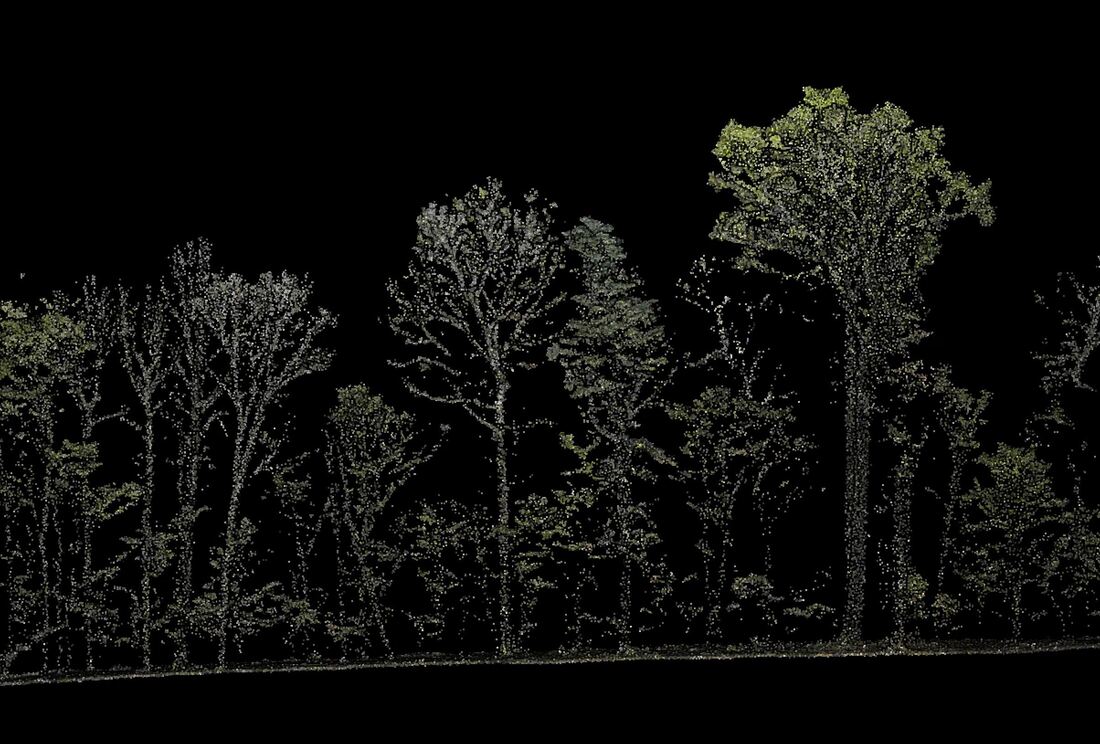
Profile through GatorEye lidar point cloud (LAS)
|
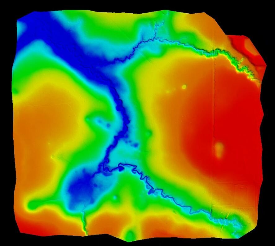
GatorEye digital elevation model (DEM) of plot
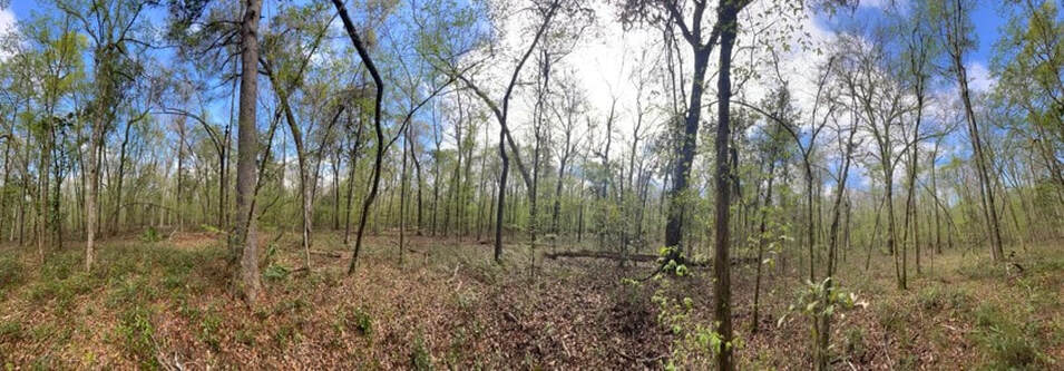
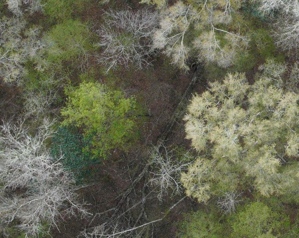
Below: GatorEye XTR very high resolution image (full extent single image) - Date: 03/04/24
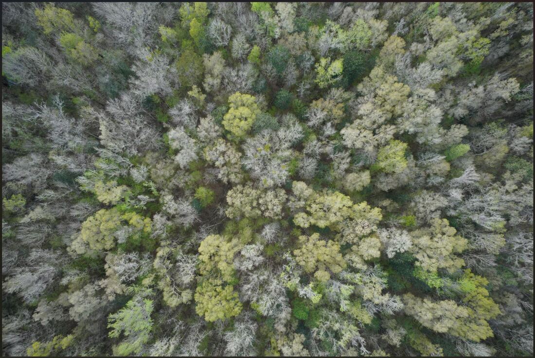
Below: GatorEye XTR very high resolution image (zoom within central canopy gap portion of above image) - Date: 03/04/24