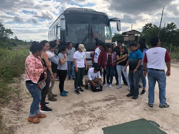
2019 CDK training in the Peruvian Amazon
|
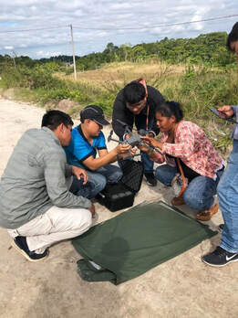
2019 CDK training in the Peruvian Amazon
|
SPEC Lab Community Drone Kits (CDKs) are designed to enable quick data collection over small areas using cheap drone technology and nearly fully automated approaches, enabling amateur drone pilots to collect visual imagery for post-processing in photogrammetric software, such as Pix4D. We have developed multiple versions which function at different price points, and with different resulting deliverable areas.
Citation: Broadbent, Eben N & Almeyda Zambrano, Angelica M. Online. Community Drone Kits (CDKs) for rapid, efficient and cost-effective monitoring of study sites. Version X accessed on www.speclab.org on month/day/year.
Community Drone Kit Online Manual (view link)
Sample data download is available at the bottom of the GatorEye data download page (hyperlinked here)