SPATIAL ECOLOGY & CONSERVATION (SPEC) LAB
  • Home
  • People
    • Join us
  • Research/Data/Flow
    • Data download
    • Geospatial Plot data workflow (GeoPlot)
    • Global Aboveground biomass Potential (GAP)
    • Global Ecosystem Structure Index (GESI)
    • PARAGUAYAN PERMANENT PLOT NETWORK (PPMB)
    • 2ndFOR
    • Sustainable Tourism >
      • Lapa Rios
    • Monitoring
    • Biodiversity Frameworks
    • References
    • SPEC Lab Internal
  • GatorEye
    • GatorEye Data Access >
      • Intellectual Property
      • Altum processing tips
      • ForestGeo
    • XL
    • XTR
    • CDK
    • ORC
    • ORCA
    • Postprocessing analytics
    • Hyperspec: links & refs
    • LiDAR: links & refs
  • GatorAI
    • GatorAI web app
  • BigPlotNetwork
  • San Felasco Big Plot
  • StormCloud
  • Teaching
    • UAS Practicum
  • Info for students
    • Schedule
    • Templates
    • Writing resources
    • AI in science writing
    • Example student products
    • Funding >
      • NASA FINESST Fellowship
  • Photos
    • Puppies
  • Directions
  • Links
  • Osa, Costa Rica
  • SoundMapper4D
  • Sentinel Oaks
  • Donate
GATOREYE UNMANNED FLYING LABORATORY ©​


​

Broadbent EN, Almeyda Zambrano AM, Omans G, Adler B, Alonso P, Naylor D, Chenevert G, Murtha T, Prata G, de Almeida DRA, Dalla Corte AP, Silva C, Vogel J, de Oliveira M, Detto M, Ferreira MP, Wilkinson B, Ferreira ME, Muller-Landau H. The GatorEye Uninhabited Flying Laboratory: sensor fusion for 4D ecological analysis through custom hardware and algorithm integration. Version # downloaded from www.gatoreye.org on month/day/year.

Download link: In prep GatorEye overview manuscript
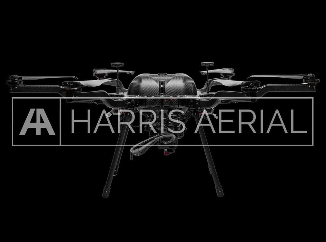
The GatorEye 
©​ is a novel combined hardware system and custom algorithm workflow, which collects and then, in post-processing, generates unique data fusion product deliverables incorporating LiDAR, hyperspectral, thermal, and visual sensors. The system is co-directed by Drs. Broadbent and Almeyda Zambrano, who manage flight operations, data processing, algorithm development and calibration/validation, and applications. Development of the system began in 2016, and hardware integration has been conducted in close collaboration with leading Aerospace and Sensor companies, specifically Phoenix LiDAR Systems, Headwall Photonics, and Harris Aerial. The system is of scientific interest to many faculty, researchers, and students around the world. Detailed and updated information on the hardware and deliverables is available in the GatorEye overview manuscript available to download and cite at the link above.

If you have an research collaboration you would like to discuss please contact Eben Broadbent ([email protected] / #1-650-204-1051) or Angelica Almeyda Zambrano via email. Thanks for your interest!

​GatorEye data download link


In collaboration with:
Picture
Picture
Picture
Picture

CONTACT

Center for Latin American Studies
School of Forest, Fisheries and Geomatics Sciences
University of Florida
[email protected]  / [email protected]
Picture

  • Home
  • People
    • Join us
  • Research/Data/Flow
    • Data download
    • Geospatial Plot data workflow (GeoPlot)
    • Global Aboveground biomass Potential (GAP)
    • Global Ecosystem Structure Index (GESI)
    • PARAGUAYAN PERMANENT PLOT NETWORK (PPMB)
    • 2ndFOR
    • Sustainable Tourism >
      • Lapa Rios
    • Monitoring
    • Biodiversity Frameworks
    • References
    • SPEC Lab Internal
  • GatorEye
    • GatorEye Data Access >
      • Intellectual Property
      • Altum processing tips
      • ForestGeo
    • XL
    • XTR
    • CDK
    • ORC
    • ORCA
    • Postprocessing analytics
    • Hyperspec: links & refs
    • LiDAR: links & refs
  • GatorAI
    • GatorAI web app
  • BigPlotNetwork
  • San Felasco Big Plot
  • StormCloud
  • Teaching
    • UAS Practicum
  • Info for students
    • Schedule
    • Templates
    • Writing resources
    • AI in science writing
    • Example student products
    • Funding >
      • NASA FINESST Fellowship
  • Photos
    • Puppies
  • Directions
  • Links
  • Osa, Costa Rica
  • SoundMapper4D
  • Sentinel Oaks
  • Donate